SAFERS


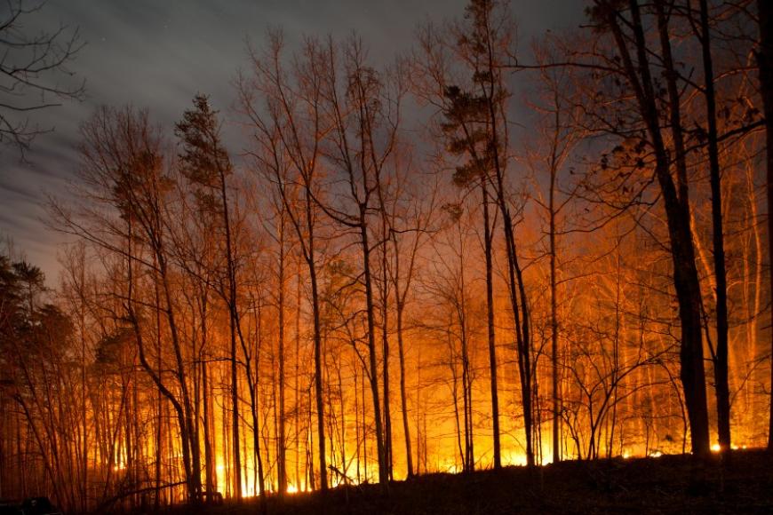
SAFERS aims at developing, over the course of three years, an innovative platform to improve the management of forest fires, whose impact has greatly increased also due to climate change. In addition to damaging the natural ecosystem as well as the social and productive fabric, fires also release a large quantity of greenhouse gasses and many pollutants that contribute to the deterioration of air quality.
To reduce the impact of future forest fires, SAFERS will develop a new Big Data platform coupled with new information systems based on Artificial Intelligence, using many data sources, in particular the Copernicus Sentinel satellites. In addition to satellite data, the project will also analyse in real time data from ad hoc monitoring cameras, social media as well as mobile phones of professional users, volunteers and citizens who, through chatbots, may report the situation they are observing.
All these elements will contribute to the generation of risk maps and warning alerts during the preliminary phases of emergencies, to estimate the extension of forest fires and their propagation depending on the meteorological and soil conditions, as well as to calculate the impacts of an extinguished fire in terms of economic and social loss, monitoring soil recovery in the post-event phase. CSI is one of the 14 project partners, led by Fondazione LINKS.
