Geomatics for landslide monitoring
Natural slopes and large civil works, such as dams, bridges or viaducts, often require monitoring to prevent dangerous situations and mitigate the risk of collapse or subsidence. These activities use Geomatics technologies, which guarantee great precision but use often high cost sensors.
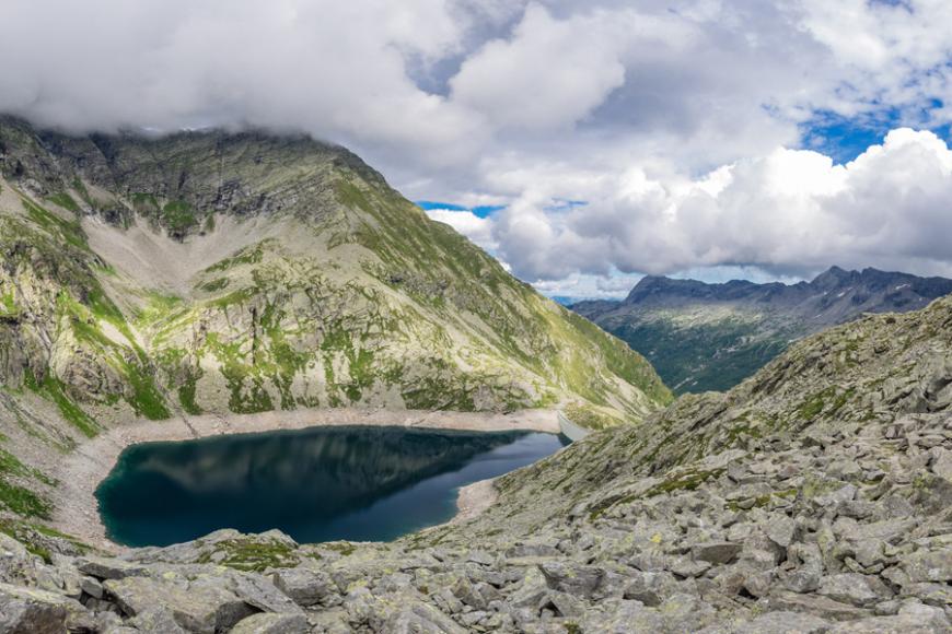
In collaboration with the Province of Verbano-Cusio-Ossola, a territory known for its high landslide risk, in April 2017 we launched a research project to create the prototype of a monitoring system which uses low-cost geomatic technologies, processing them and disseminating the results through Yucca Smart Data Platform. The activities, which ended in October 2018, involved the Politecnico di Torino, CSP - Innovation in ICT and the National Research Council - Research Institute for Hydrogeological Protection, with the support of Regione Piemonte and ARPA Piemonte, who participated as auditors interested in all phases of the project.
The objectives achieved by the project are:
-
provide a state of the art on geomatic monitoring instrumentation and its applicability to different types of disruption
-
design and build a GPS/GNSS prototype system for monitoring significant points
-
realize a tracking system based on photogrammetric techniques to integrate the prototype GPS/GNSS system
-
define and document the data flows that can be obtained from these systems, evaluating their benefits and limitations
-
assess the applicability of these systems to real-life cases, with regard to installation and durability in an outdoor environment
-
disseminate the results on user-friendly platforms, accessible by administrations, technicians and citizens, with different levels of detail.
The positive outcomes of this trial:
-
greater diffusion of geomatic techniques for the monitoring of the territory, thanks to the lowering of sensor costs
-
benefits of integrating multiple sensor families
-
integration of the regional sensor network with low-cost instrumentation
-
acquisition and dissemination of expertise in geomatic technologies for monitoring and management of massive and continuous data flows
2019
Starting from the results of research and development activities started in 2017, the project has focused on GNSS technology. Technology of interest both for the CSI, which manages the SPIN GNSS interregional network, and for ARPA Piemonte, which deals with the monitoring of hydrogeological instability and landslides.
The following activities have been developed together with ARPA, Politecnico di Torino and CSP:
- engineering of the control units, with attention to data transmission modes also through telephone cards and improvement of the chipsets of multi-frequency and multi-constellation GNSS receivers
- relocation and handling of the control units in a single site, the town of Madonna del Sasso in the Verbano Cusio Ossola, and start of continuous measurements
- data collection and processing in the CSI cloud infrastructure and smart data platform
- in-depth studies on the development of the SPIN GNSS interregional network to support the sub-networks dedicated to monitoring
- development of calculation algorithms for writing in open source environment
- definition of standards for data acquisition methods in GNSS monitoring
- increased use of the interregional GNSS network for geological and geodynamic applications.