We manage the entire life cycle of geographical data: acquisition of new information, geo-referencing, treatment, processing, web publication

We develop thematic applications for territory, urban planning, environment, energy, soil protection, civil protection, agriculture, transport

We promote geomatics culture and the adoption of national and international technological standards

The production of geographic data

This is how we update the technical map of the City of Turin,
large-scale cartography employed in territorial planning and in building design

Topographic surveys on field
Photogrammetry and photo-interpretation
Integration of data from different sources
Recovery of paper data and historical cartographies

The regional geographic infrastructure

The cartographic data of Piedmont Region is a shared heritage. We have created a set of tools and services that allow its use according to open standard formats

bdtre
BDTRE
Data base of Territorial Reference for PA. Data for planning and land management activities
geoportale
Geoportal
Geographical information aggregation point for public entities, businesses and citizens
gis
GIS Platform
GIS desktop and web software, GEO-services, cartographic databases, 3D viewers

Works

International
Research and development

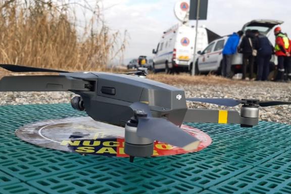
Innovative tools and a new approach for first responders in an emergency.

Argomenti
Civil Protection
Eccellenze e Temi strategici
International activities
Data strategy
Gis & cartography
Research and development
International

Our Environmental Knowledge System used in the Balkan countries for the control and prevention of environmental pollution.

Argomenti
Environment and territory
Digital education
Eccellenze e Temi strategici
International activities
Gis & cartography
International

Land management: municipal forests and pastures property registration in Albania. Two projects funded by the World Bank.

Argomenti
Environment and territory
Eccellenze e Temi strategici
International activities
Gis & cartography
International

Realizing the digital cadastre of real estate in Albania means improving the public management of the territory. Three projects funded by the World Bank.

Argomenti
Environment and territory
Eccellenze e Temi strategici
International activities
Gis & cartography
Research and development

Geomatic solutions with low cost technologies to monitor slopes and infrastructure (landslides, dams, viaducts).

Argomenti
Environment and territory
Eccellenze e Temi strategici
Data strategy
Gis & cartography
Research and development