Remote sensing for geographical data

2018
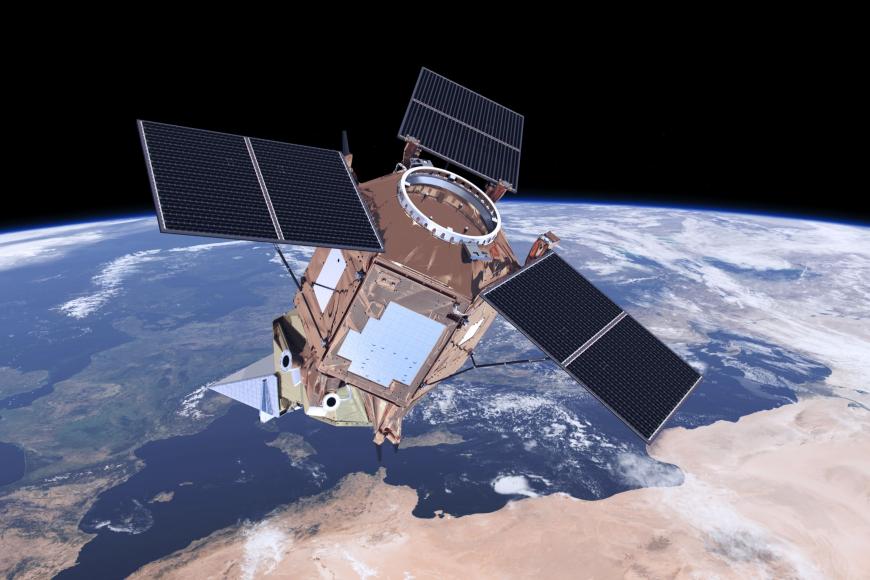
Copernicus is a programme of the European Space Agency (ESA) and the European Commission that wants to make the European Union autonomous on security, environment and territory through satellite surveys. For some years now, satellite data from the Copernicus programme have been open to the public and make possible very interesting analyses on a territorial scale in various sectors: agriculture, soil protection, land use, fires, civil protection.
The research and development project has achieved its goals:
- share needs and experiences for data collection and use
-
collect images and data on emitted, reflected or transmitted electromagnetic radiation interacting with physical spatial surfaces.
The results of the project may find interesting spin-offs both for cross-sectional services of the Piemonte Geographic Data Infrastructure (IDG) and for specific services.
2019
Monitoring soil consumption, assessing the effect of drought on forests and crops, estimating the effects of fires and floods on the territory. These are some of the many fields of application for the study of land that can be conducted using data acquired from satellites. These data have become more accessible in recent years thanks to the open publication of data acquired by the Copernicus project of the European Commission and the European Space Agency (ESA).
In this context, the research project aims to create the technical infrastructure to acquire and process Copernicus data (Sentinel 2 specifically), integrating them into the regional geographic infrastructure (IDG). The data are useful for studies and monitoring in the environmental, forestry, civil protection and agricultural fields.
